Wednesday, July 31, 2024

Hiking Canada 2023: Eiffel Lake

 On July 22nd, 2023, Joan and I spent our first day at Moraine Lake hiking to Eiffel Lake. We had done this the year before but wanted to go further towards the lake this time. Plus, the conditions were much better than the snow-clogged 2018 attempt.

The hike began on a shared path with the route to Larch Valley. Once past the split, the early part of the Eiffel trail is wooded and thins as you proceed out and up. (Click on any image to enlarge.)
Here, other hikers are ahead of us.
A ground squirrel was keeping watch.
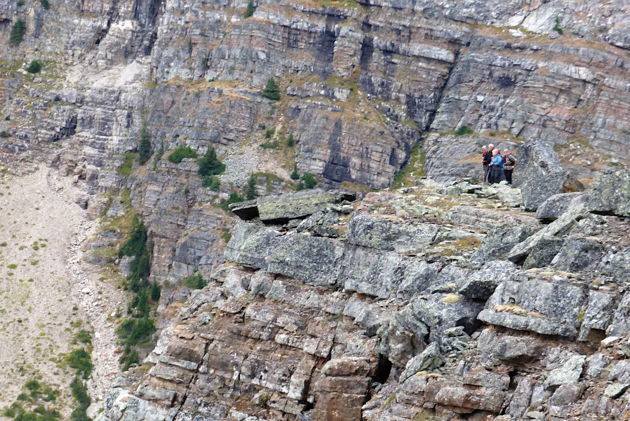
I took no pictures as we proceeded up the valley, but took this photo at our lunch stop/turnaround point. (To descend to Eiffel Lake requires a circuitous route down to the far side.) Our quest for a better view was satisfied.
An inquisitive pika investigated us continually as we sat there.
The beginning of the return was through mostly open terrain. We spotted a lazy marmot sunning off the trail.
As we passed, it turned to present only its rear end to us.
Joan and I continued hiking and re-entered the wooded section. The slope on either side of the path remained steep. Then, steady but unhurried, a mama grizzly and her yearling cub appeared on the path ahead. Coming towards us. Joan and I stepped off the path on the uphill side, and I pulled out my bear spray just in case. Mama came closer, glanced at us, and stepped off the path to the downhill side. She continued her rhythmic pace, but the youngster was curious. He looked at us. He took one step towards us. Joan wondered what mom would do if we had to spray her cub?
 
But mom had trained him well, and he joined her on the other side of the path. The duo passed behind some boulders across from us. The irrepressible youngster popped up again from behind the rocks, wishing he could check us out closer, but mom simply continued her stroll. Once well behind us, she crossed the path and began climbing up the slope, junior in tow. I holstered my bear spray.

Back at the lodge, we reported our adventure. "Oh," the guy at the desk said, "that's bear #142. She's well known around here." (In fact, she was spotted near Moraine Lake itself
the next day.) Moraine Lake has so many visitors, we realized, that any bear who prefers this high valley must be accustomed to humans. It's up to us to not panic and do something stupid.

Monday, July 29, 2024

HIking Canada 2023: Last Day at O'Hara

July 21st, 2023, was our last day at Lake O'Hara. We had signed up for the 4:00pm bus, so Joan and I had time to take one last hike. When we need a quick return, we often choose the Opabin Plateau. This day we climbed to the plateau from the west, the route more scenic and more likely to provide wildlife sightings.
The rocky slopes often hold pikas or marmots.
And today we did see a pika on the way up. We took the trail to the prospect at the next intersection, which is always a treat. (Click on any image to enlarge.)
Continuing from the prospect, Joan and I reached the "hidden" stairs from the heights down to the Cascade Lakes. They're "hidden" from this direction because the hiker must step down through apparently meaningless gaps in the rock formation. This year, stones lined the true path.
Looking back from here revealed the Cascade Lakes.
This panoramic sweep reveals, starting at the left, the Cascade Lakes, the Opabin Highline, and, in the far distance, the Opabin glacier.
We took the low circuit and soon stared at this rocky ridge, a glacial deposit that hides Lake Opabin.
Climbing up the west path, we reached the lake.
Joan and I settled down for first lunch. Dark clouds gathering in the south had us wondering about rain, but fortunately they passed us by. A few mosquitoes visited us, an event we rarely encounter at O'Hara. Our view during lunch:
Here's a closeup of the glacial patch that remains.
Not much, eh?
We began returning along the Highline, which offered many views, including the "hidden stairs" formation.
From here we could see, through binoculars, hikers at All Souls Prospect. (Click on any image to enlarge).
This was the beginning of the descent on the West Opabin trail.
Near the bottom, we encountered a man looking for the rest of his family, including a young girl -- had we seen them? Joan and I had no information to offer.

At the bottom, I proposed an extension before returning to the lodge for tea-time. We hiked around the O'Hara lake shore to the East Opabin trailhead; it was a longer (more time-consuming) jaunt than I expected, and the bench was already taken. Despite my poor choice, there was still time to relax at the lodge before taking the bus down 11 km to the parking area.

From there, we drove to Moraine Lake. The hordes bound for Moraine have forced Parks Canada to ban private vehicles on the narrow 12-km approach road, except for bicycles. Commercial and shuttle buses now dominate the parking area. However, guests at the lodge can drive their own car up ... yippee! After dinner we collapsed, as our "lesser activity" day had been packed.

Thursday, July 4, 2024

Hiking Canada 2023: Yukness Ledges and Opabin Highline

Day 10
On July 20th, Joan and I traversed the Yukness Ledges and Opabin Highline. We chose to do this clockwise, starting up the trail to Lake Oesa from Lake O'Hara.
After an hour and a quarter, we arrived at the Victoria Cutoff. By taking this shortcut, we'd save time and energy otherwise spent going on to Lake Oesa and then back to the far end of the shortcut. This photo was taken at the start of the cutoff. Note the alpine trail marker (two yellow stripes on a blue background) at the left side of the large boulder.
We'd be following these. (I added a green circle; click on any image to enlarge.)
After rock-hopping across the outflow stream from Victoria Lake, the next portion was also rocky. This photo looks towards that lake.
Then the real climb began.
At the foot of the climb, another trail marker adorned a square block, the first of many marking the way to thread up the slope.
The view looking back after we'd climbed partway up.
Four minutes later, we saw these blooms.
Thankfully, there's a sign where the routes meet. (Photo from 2017).
The path winds through rocks, gravel, and roots, depending on which stretch you're in. It dips up and down through gullies, sometimes with steps, sometimes not. Joan and I soon encountered a group of young women from the campground on an "alpine circuit" ledge for the first time. We gave them a thumbs-up on the Yukness and let them go ahead. The "Gully," known for its steep dip, had stairs now for most parts, but we could overhear that one of the girls was frightened. But they remained ahead of us and eventually were out of sight.

The only constant characteristic of the Yukness ledges is the marvelous nature of the views.
Looking back, we saw other hikers, which gave us a sense of scale. (This is also a 2017 image.)
As we continued along the trail, the Opabin plateau and its prospect (the rocky bit that sticks out in the middle distance) came into view.
This view back towards O'Hara revealed a relatively benign (if narrow) stretch of the trail. The Opabin prospect was still much lower than we were.
Eventually we descended through another boulder field, following the alpine blazes, and were deposited next to Hungabee Lake. (Opabin Lake is behind the rise on the far side.)
Joan and I chose to wander among the elevated terrain in the middle of the plateau. This yielded a scenic lunch spot.
Afterward, we decided to return to the O'Hara lakeshore via the East Opabin descent, most of which is a rather dull, switchback-filled route but quick. From there, we took the O'Hara loop trail counter-clockwise to the short spur trail for the Seven Veils Falls.
Much of the water coming down from the heights around Lake Oesa emerges from the rocks here.
Here's a zoom-in look.
This was our last full day at O'Hara, but we weren't leaving until tomorrow's afternoon bus (4 pm), so there was one more hike to choose.