Thursday, July 24th, began with a long breakfast as we engaged with table-mates on topics ranging from novice hikers to senior care. Then Joan and I geared up to tackle the Yukness Ledges, crossing from the Oesa side to the Opabin side. Uncertain of the weather, we brought our waterproof backpacks. (In the end, we didn't need them.) Ascending the Oesa trail, we soon encountered a marmot youngster. (Click on any image to enlarge.)
 The ascent passes by the plaque honoring Lawrence Grassi.
 We continued climbing towards the Lake Victoria cutoff.
 Moments later, another marmot appeared, feeding upon the greenery.
 Then, a bloom of Glentiana glauca, commonly know as pale gentian or glaucous gentian.
 At one point Joan chatted with a young park staff member, waxing so enthusiastic about the Yukness Ledges that he turned around to try them for himself. Then we crossed the Victoria outlet on stepping stones and followed the cutoff, clambering through boulder fields to this intersection. We're almost to the Yukness Ledges route.
  It's still an uphill stretch to the ledges.
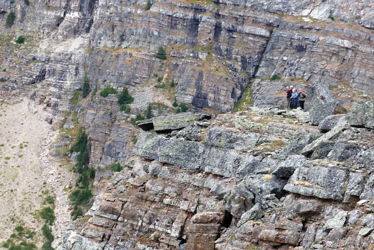
  With maximum zoom, my camera caught these hikers on Wiwaxy Gap, far away.
 The main attraction of the ledges is the views,
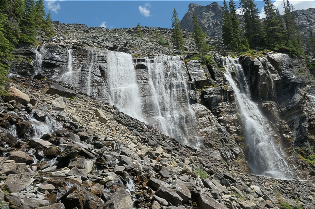
 but sometimes there are intriguing plants or rock formations as you weave along, following trail blazes through tumbled pieces of mountain. A closeup ...
 The scene constantly shifts.
 The path began to bend towards Opabin.
 The Opabin prospect was easy to spot.
 On reaching the Opabin plateau, we spotted a pika.
 Not having yet traveled the Opabin highline on this visit, we set it as our next goal. Our direction was generally south.
 Passing by the Moor lakes, we saw a stunning reflection.
 On the highline trail, there are locations overlooking the streams and, on the far side, more trails, including the West Opabin descent to O'Hara.
 Descending on the west trail, we stopped and talked to several Spanish youth and their group leader. They had walked up from the O'Hara parking area -- 11 km or 7 miles -- to reach the trailhead! Having reached this point, it was now time to start their return leg. One of their first comments was how wonderful it was that we seniors/elders were out doing so much hiking. Mmm, thank you. Perhaps the image of the Spanish grandmother dressed in black lingers back in the Iberian Peninsula!


The O'Hara cabins usually come with flowers; this one caught my eye. Our traveling pigs, Pudgy and Poppy, were glad to see us but disappointed that they had not been brought along. (The waterproof daypacks don't have pockets for them to ride in.)


Friday, July 25th, was our final day at O'Hara. We needed to be packed up and out of our cabin by 10:00, and would take the afternoon bus down to the parking area. It was a wet day. Joan and I hiked through showers back to Lake McArthur; upon reaching the trail's crest and seeing the lake, we decided that was good enough. We hiked back down to O'Hara and ate our packed lunches indoors; the afternoon tea at the lodge held lots of visitors. Later, after boarding the lodge bus and being reunited with our rental car, we drove to Cathedral Mountain Lodge for the next two nights.