The next day, July 28th, Joan and I began a double Huber Ledges day by heading around the southern end of Lake O'Hara. This photo looks across the south arm of the lake to the peninsula with our cabin.
An overview of today's trails, and our start.
We continued on to Lake Oesa. On the way we saw lots of beardtongue.
A peek at All Souls Prospect. We aren't going there today.
Joan and I took the direct route to Lake Oesa.
Arriving at the lake,
we spotted researchers taking measurements of the waters.
We swung around onto the Huber Ledges trail, aiming for Wiwaxy Gap.
Early on I took this panoramic view back.
This was the way ahead, with Wiwaxy being in the saddle of the ridgeline.
Taken from the same spot, this picture shows much of the Victoria Lake Cutoff on the side of Yukness Mountain, starting with a beige thread through the greenery at the bottom. Click on the image to enlarge.
Zooming in on the junction between the cutoff and the Yukness Ledges trail reveals two hikers in the lower left corner.
The trail blazes on the Huber Ledges helped us avoid taking less desirable routes.
The wet weather of the past weeks had created miniature waterfalls along the trail, and lush green carpets of moss.
Near Wiwaxy Gap we heard and then saw a golden-mantled ground squirrel vigorously scolding and chasing off a competitor. Afterwards he sprawled under a rock and dug out a little dirt.
He approached us, probably looking for a handout.
Here's proof that we reached the gap.
This was the spot for a well-deserved lunch.
Rather than take the steep Wiwaxy trail down to Lake O'Hara, Joan and I retraced our steps to Oesa on the ledges. The view is always different coming from the other direction. There's one location in particular where it's important to stay with the trail blaze, as Joan demonstrated, rather than take the alluring path just below.
This panoramic view from the Huber Ledges covers almost everything: Lake Oesa and its satellite lakes, the Yukness Ledges, the cataract pouring down from the Opabin Plateau just left of the Opabin Prospect, All Souls Prospect, McArthur Pass, and Odaray. Not to mention Lake O'Hara.
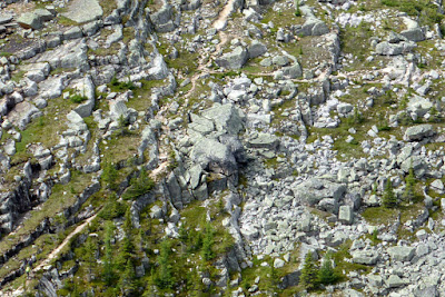
Some summer we'll come back to O'Hara and these blocks will be gone, perhaps having bounded down to the Lake Oesa trailside.
At this point the hike became a wildlife bonanza. This is perhaps a young winter wren.
A young pika.
Just after reaching the Oesa junction we saw a Japanese couple taking pictures of rocks, but then we saw that there was a ptarmigan.
At least four youngsters, some still with fuzzy down, popped in and out among the rocks as they grazed (buds, leaves, berries) or hunted (insects).
Mom kept up her various calls, including "I am here" and possibly also "Come to me." This chick wasn't paying close attention.
This panoramic view shows the Japanese couple, preparing to take a selfie with a Canadian flag, and in lower left one of the ptarmigans!
The clouds became denser as Joan and I descended towards Lake O'Hara, but we suffered only a few drops before we reached our cabin at 4:10. Later there was a five-minute hard rain.
That evening was our final O'Hara dinner of this visit. So soon!


No comments:
Post a Comment
Comments may not appear immediately as they are moderated by the author to eliminate spam. Please, no commercial links!