
 |
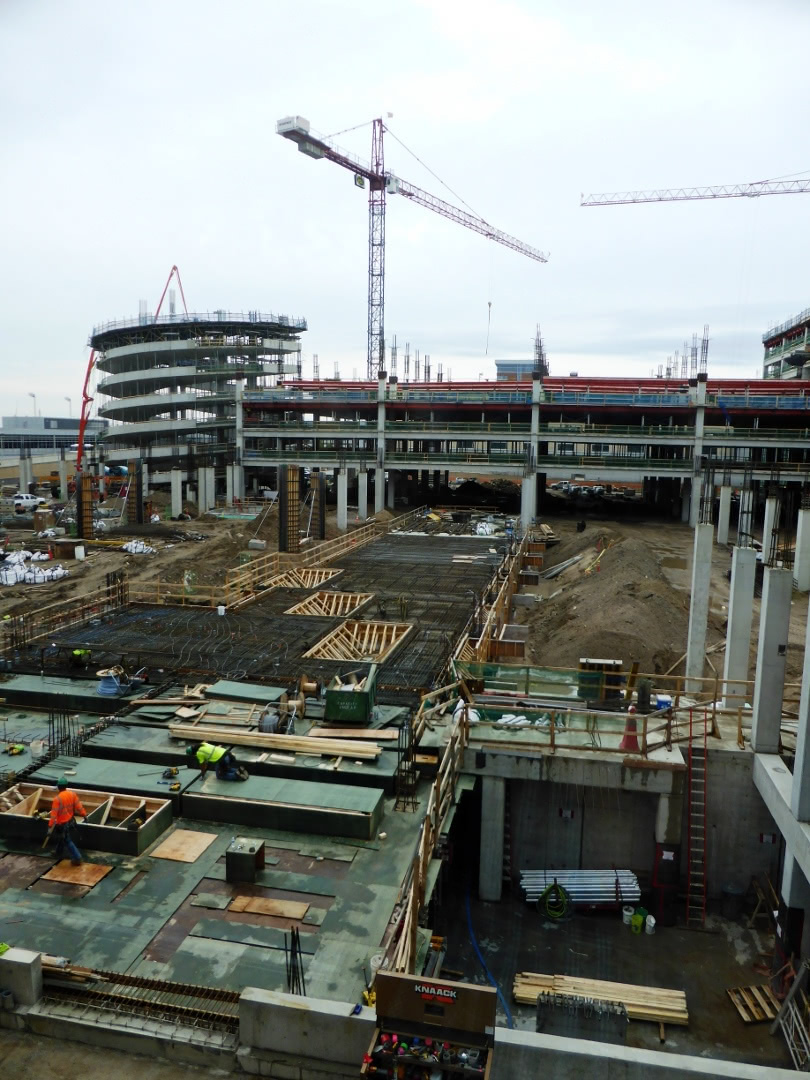
| New parking garage |
 |
Hertz wanted to "upgrade" us to an SUV, but we wanted a vehicle with a trunk, to keep luggage out of sight while parked at a trailhead. Hertz obliged with a Toyota Corolla, which was less expensive but had plenty of room for our two large duffels. We drove to Canadian Artisans Bed & Breakfast in Canmore -- spotting two elk in the driveway next door! -- and introduced Kristin, the Icelandic Pig, and Dart, the Poison Dart Frog, to Mr. Bear, our host.
 |
| Hi guys! |
The next morning started with a short walk to the Canmore Farmer's Market (every Thursday), which was in various stages of being set up at 8:30. The berries from British Columbia are luscious, and Joan bought some blueberries. We also bought a meat sandwich and apple strudel at the German Baker to split later.
Stocked with lunch supplies, we were prepared for our first hike, on the Bow Corridor Link Trail. This trail links two sections of the Trans-Canada Trail; both hikers and mountain bikers are allowed.
 This screenshot (click on the image to enlarge) captures the route Joan and I took, wherein 'P' marks the parking spot, at Heart Creek, 'V' marks the location of the Vault, an incomplete Cold War bunker, and 'C' indicates the intersection of the Bow Valley and McGillivray Canyon trails. Click on the image to enlarge.
 The weather for this day and the next was a milder repeat of last year, warm in the afternoon and hazy from wildfire smoke.
Looking north: trees, highway, river, then the BayMag facility in Exshaw that processes magnesium oxide, mined both here and in Radium.
 Joan spotted an osprey circling above the water, and we followed it through binoculars until we saw it crash into the river and emerge with a fish, with which it flew away.The following day's
The first part of the trail wound uneventfully until we had to choose whether to climb to the Vault steeply or with a couple of switchbacks. We went with the switchbacks, while a group of three people and one dog chose the steeper route. These would be the only people we'd see on the trail.
 The geometry created a multi-point intersection.
 Joan at the entrance to the Vault, where documents and financial records were intended to be stored against nuclear attack.
A couple of tunnels branched off once we were past the entrance,
but they didn't go far.
 Joan and I left the Vault and continued west. On the way we encountered this mourning cloak butterfly, among others.
 The trail narrowed, including stretches where cyclists couldn't pass a hiker without dismounting, and presented more vigorous ups and downs. We passed signs warning bikers of risky stretches, plus unmarked side trails, or trails demarcated only by a colored ribbon, and finally declared it lunchtime.
As we munched we decided that we'd recently passed the side trail for the McGillivray Creek chockstone, and should backtrack to find it. It wasn't far away, although completely unmarked. The first stretch of trail was a gentle grade through forest with frequent deadfall.
 Extensive stone debris from the floods of 2013 has annexed the lower reaches of the creek.
 As the canyon narrows timber and rock debris choke it, making following the trail above the creek the better choice, unless you're looking for a challenge. Joan and I followed it as it veered away from the creek and began to climb. After a while we became uncertain whether it was taking us to the distant peak instead of the canyon, and we turned back. Joan eventually found a steep footpath down into the canyon.
Joan, in the lead, soon encountered pools of water and we decided to push no further. Looking at the left-hand side of the screenshot, we now see that we should have remained on the trail.
 Next year we'll try again, starting from a parking area closer to the McGillivray trail. That should give us enough time to poke around and find the chockstone.
Our next hike would be a step up in effort, but not trail finding.
Stocked with lunch supplies, we were prepared for our first hike, on the Bow Corridor Link Trail. This trail links two sections of the Trans-Canada Trail; both hikers and mountain bikers are allowed.


 |
| A wide beginning. |

The first part of the trail wound uneventfully until we had to choose whether to climb to the Vault steeply or with a couple of switchbacks. We went with the switchbacks, while a group of three people and one dog chose the steeper route. These would be the only people we'd see on the trail.


 |
| The graffiti changes regularly. |
 |
| Critters have been dragging in green leaves of the season. |


As we munched we decided that we'd recently passed the side trail for the McGillivray Creek chockstone, and should backtrack to find it. It wasn't far away, although completely unmarked. The first stretch of trail was a gentle grade through forest with frequent deadfall.


 |
| Joan explores the next bend. |

Our next hike would be a step up in effort, but not trail finding.
No comments:
Post a Comment
Comments may not appear immediately as they are moderated by the author to eliminate spam. Please, no commercial links!