CR2012: Pocaterra Cirque and South Peak of Pocaterra Ridge
The next day, our first based at the Delta Lodge in Kananaskis Village, we hiked to Pocaterra Cirque and then climbed the south peak of Poctaterra Ridge. Last year I wrote about our hike to Pocaterra Cirque and partway up to Little Highwood Pass, so this post will focus more the new stuff in our jaunt up to 8,796 feet.
As this Gem Trek map shows, the route begins by weaving around a shoulder of Highwood Ridge, departing from a wide official interpretive trail.
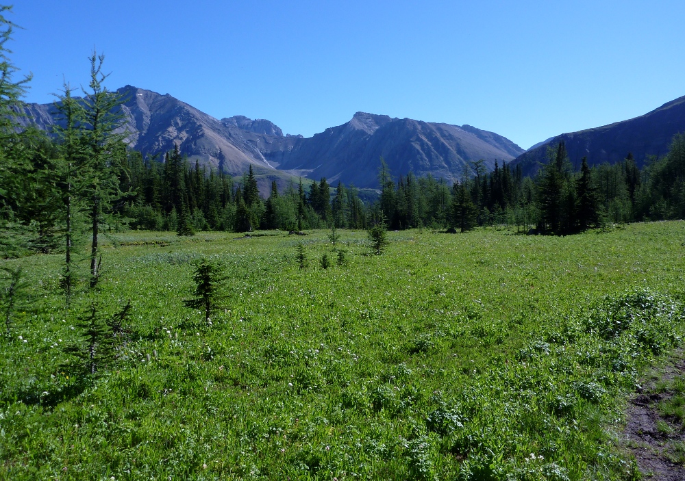
Here is the first view looking up the valley towards the cirque, taken after having tramped through the woods.
The cirque is far back at the foot of the ridge. Today's goal is the top of the "hill"on the right, reached from the cirque. As you can see in the foreground, there are occasional avalanche fields and spring runoff gullies to cross. This terrain, kept clear of trees by the forces of nature, hosted wildflowers galore including these dwarf larkspur.
Spring was running two weeks late, and there were still a couple of snowfields across the trail.
Did I mention avalanches? We saw plenty of evidence of a harsher-than-usual winter, including the damage to these young trees at the end of an avalanche run. Some are bent and some are snapped.
One of our friends, the gray-crowned rosy finches, was hunting in a tiny patch of snow.
There is a brief level meadow where you can walk easily. This photo looks back from it.
The trail left the meadow and began to wind through rocks and across a small stream. There we encountered a mama ptarmigan,
who was calling out to her youngsters exploring the banks of the creek.
As long as we made no sudden moves she continued to stay out in plain view, on guard.
We reached the point where the trail for the south peak split off from the trail to Little Highwood Pass. The route to the pass, which we had taken last year and along which we had seen ptarmigans and pikas, was buried in snow. We crunched across the snow to the south peak trail.
The next few pictures are out of order, in the sense that I took them while descending rather than while hiking up. It's a steep climb, and one that led us to resolve to bring two trekking poles next year, for better balance and to enable us to use both arms as well as both legs. From the time stamps on the photos, it took us about an hour to climb the "hill."
At first the peak trail skirts the edge of the ridge, perched on a narrow strip of ground hung between the tangled woods of the hill and the valley of the pass below. Here is the first photo after we finally broke out of the trees. At this point the trail may disappear occasionally, but you still know the general direction. Higher up, you can't miss it.
I tried to not guess how far away the top was; psychologically I find it better not to tell myself "We're almost there," because it's often a false hope, an illusion caused by staring up from below.
For a while there is vegetation, but as the trail steepens there is less and less, making the footing less secure.
You might spot some figures on the trail ahead (click to enlarge). As I said, these pictures are really in reverse chronological order, having been taken going down. We had the advantage of an early start, and the many day-hikers from Calgary face a two-hour (or so) drive to the trailhead. We were the first to the top today!
Getting closer to the top ... but by no means there yet.
Zooming in on some of our fellow hikers, perhaps you can see how steep this trail can be.
Getting to the first bump doesn't get you all the way to the top. Where is the top, anyway? Are you sure?
Almost there now. Don't step on the trailside flowers in your oxygen-deprived state.
The top has two bumps. I took a picture of the south bump from the north. 8,796'. In solitude we took a half-lunch here.
Now for some pictures of the landscape below, taken from the peak and using the zoom of my camera. First, the parking area at Highwood Pass.
The meadow of the cirque.
The view over to Grizzly Col. Note the path in the center, and the keyhole in the upper right. With binoculars we saw the shapes of a large clan of mountain sheep to the left of the Col. Perhaps some other year we'll tackle Grizzly Col.
And the view to Elbow Lake, center, just a smudge peeking over the edge of the near ridge, and then up into the valley network beyond. In two days we would take this route up to Rae Lake.
Finally ... the video! A pan around from the peak.
360° View from highest (south) peak of Pocaterra Ridge from
Ben Branch on
Vimeo.
Then we went down, down, and down. At the foot of the hill and the edge of the cirque there is a boulder field, where we took the second half of our lunch.
Just before we reached the pond we were passed by some of the young and acclimated Calgarians who had been on their way up as we had been on our way down. Well, after all, we had stopped for the half-lunch and chatted with other hikers.
We encountered this photographer, who was enamored of all the wildflowers.
On arriving at the parking area we were almost giddy. We had successfully tackled the south peak of Pocaterra Ridge, and felt that we were finally getting in shape.


No comments:
Post a Comment
Comments may not appear immediately as they are moderated by the author to eliminate spam.