July 23rd was our all-day expedition to Askja, a volcano in the central highlands that last erupted in 1961, and the Holuhraun lava flow of 2014.
Before breakfast Joan and I swung by the Möðrudalur church, built in 1949 by the farmer Jón Stefánsson. Jón built this church in
memory of his wife, Þórunn Vilhjálmsdóttir.
A peek into the interior.
We crossed the road and headed towards breakfast. This dog was unperturbed.
The restaurant here is the only one for a long way, and therefore has a varied customer base: campers, lodging guests, work crews. We all managed to cram in.
Our route to Askja covered a lot of rough road, sometimes just a route. Click on the image to enlarge; our starting point and Askja are underlined in pink.
Our NatHab group piled into two off-road capable vehicles. The larger, simply called a "super jeep," held more people but had less visibility than the Toyota land cruiser, which Joan and I rode in. After a short drive south we began ascending a series of humps that culminated at the top of a long ridgeline, our first stop. The sky was overcast all day, but we could still see a long way.
To our right there was a wet, green area, a rarity here. Grass can survive only in areas protected from the brutal wind.
A closer look. Somewhere down there is a hut that sheep farmers use when tracking down their flock.
Among the rocks some arctic thyme grew.
This plant is highly regarded for its medicinal properties and is often used in tea.
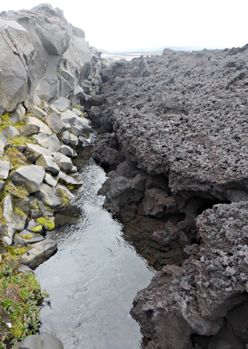
The larger water crossings had bridges, but the smaller ones didn't. This photo was taken at our next stop,
a "rest" stop. A very welcome rest stop.
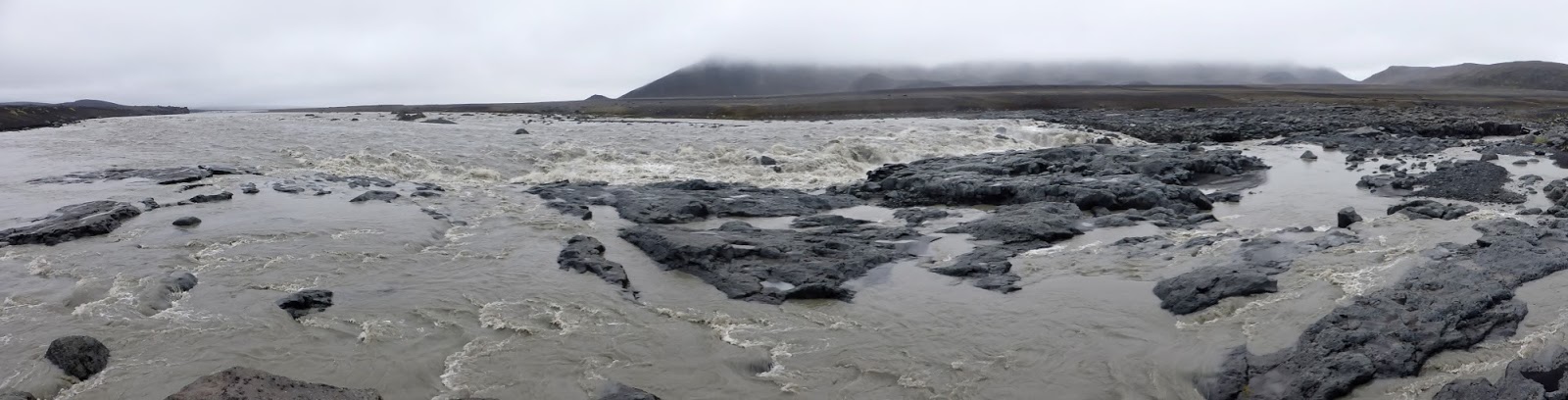
The thick overcast hid the sun, and after many curves and intersections I had no idea which way was which. Also, the magnetic declination (difference between geographic and magnetic north) is about -10½°. After driving for another hour our group reached a broader, more exciting watercourse.
The wide flood became compressed and wilder in the channels it had cut.
A bridge!
Instruments were hanging from the bridge, thrashing about in the churning waters.
The outflows here originate in the Vatnajökull glacier, and within many, instruments monitor the volume, temperature, and mineral content of the water, offering clues about possible volcanic activity otherwise invisible beneath the ice cap.
Then we arrived at the Askja trailhead. Another group was just ahead of us.
They're looking at this map of the caldera and the trails around and about.
How far is it?
Layers of iron-rich minerals glow in the ejecta from the 1961 eruption.
After crossing the small rise visitors descend into the main floor of the caldera.
On the floor, the view ahead.
One of our guides paused and dug into debris from the monstrous 1875 eruption, which pelted eastern Iceland with toxic ash, killing livestock and spurring a wave of emigration. The tephra even reached Norway, Sweden, Germany, and Poland. Pre-1875 ice was exposed.
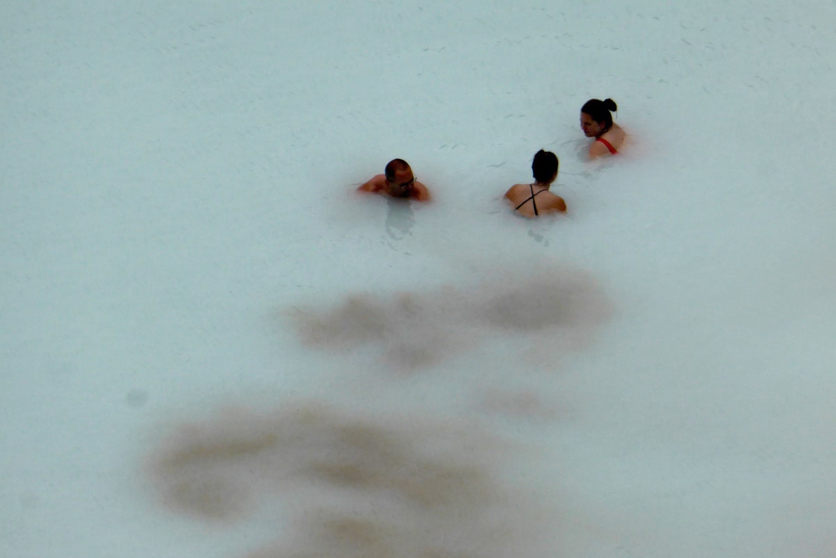
Then, out of the mists, we arrived at the Viti geothermal pool, with the main lake, Öskjuvatn, beyond.
Looking at the pool ...
there were swimmers down there.
 |
| I didn't bring my bathing suit. |
Here's another view of the wall surrounding Viti.
We could spot a steaming fissure near the shoreline.
On the way back our group passed a long sign explaining the history of this volcano. Click on the image to enlarge.
We consumed our packed lunches back at the park "headquarters" and did a bit of exploring afterwards.
We spotted a snow bunting, male, breeding plumage. The snow bunting is the northernmost passerine in the world.
The day was not yet over. Our excursion continued south to an August 2014 lava flow at Holuhraun, and we investigated the boundary between it and a much older lava flow (1797). The 2014 flow was the largest -- 85 km2 (33 sq mi) and 1.4 km3 (0.34 cu mi) -- since 1783.
 |
| The black lava is the newer. |
The new lava is of the a'a subtype; it consists of a loose, sharp surface that makes traveling difficult. Beneath that is a dense core.
We're close to the Vatnajökull glacier here, and the terrain is sometimes submerged by jökulhlaup, floods created by subglacial volcanoes.
 |
| Click to enlarge -- glacier on the far horizon. |
Following a long drive back to Möðrudalur it was time for dinner and a good sleep.


No comments:
Post a Comment
Comments may not appear immediately as they are moderated by the author to eliminate spam. Please, no commercial links!