He's on a kill, or what's left of one. The blubber on a seal, the usual foodstuff, would have been eaten first. Opportunistic gulls wait for their chance on the edges of his patch of ice (click to enlarge).
Every so often the bear investigates the view from an adjacent chunk of ice, and the gulls have a few moments to swoop in.
But the bear always comes back. The lure of blood is too strong.
Once or twice he looks our way,
but he always returns to the kill, until he considers taking a dip instead.
Polar bears swim so well, and spend so much of their life at sea (including on ice), that they are classified as marine mammals.
About 90 minutes later, as we approach Padloping Island,
a multitude of bears are spotted. The first is slowly maneuvering above the steep, boulder-strewn shore.
High above, a mother bear and her two cubs try to stay far away from any solitary males, of which there are several visible to us. With full zoom and ruthless cropping, I can get this image:
Always take your binoculars with you everywhere you go.
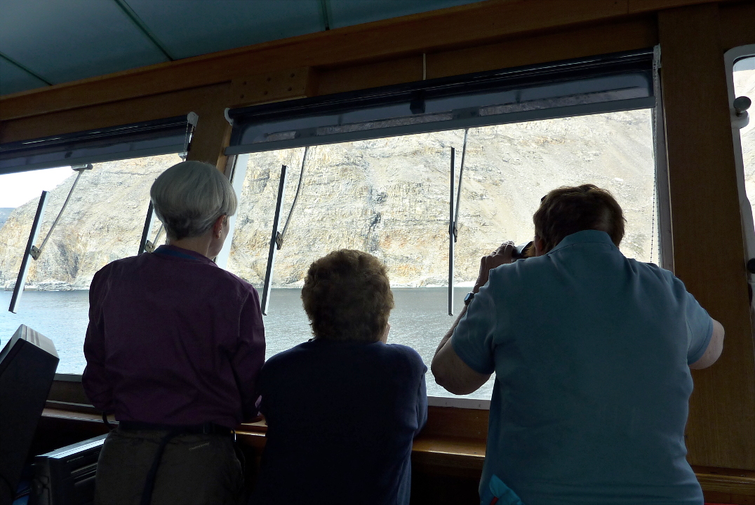
As usual, I've joined the bridge crowd. Many of the best spotters, including Captain Kruess, are there, and are happy to guide you through the landmarks until you discover a bear you hadn't seen.
This bear is sprawled out on a comfy rock.
After a while he came down to the shore and looked us over.
We sailed around the tip of Cape Dyer during lunch and the first part of the afternoon. This quiet time allowed Guest Speaker Captain Fred McLaren to finally complete his presentation, The Evolution of the Arctic Submarine, after three earlier attempts were all interrupted by wildlife sightings. By 4:00 we had come ashore for a hike, across the inlet from the Cape Dyer Airport and a decommissioned DEW (Distant Early Warning) station, being cleaned up by
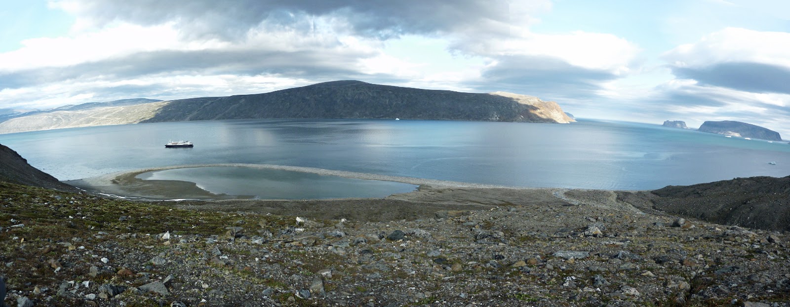
Qikiqtaaluk Logistics. As usual, Joan and I joined the group headed up to a high point. Here is a view, partway up, looking back to the Explorer and our landing beach.
Our turnaround point at the top was near a rock with a multilayered geological story to tell.
From this height we could look across the width of Cape Dyer to the old DEW radar station.
On the far shore is the terminus of the road from the DEW station. The airstrip is between the DEW station and this point.
In this photo we've paused, partway down on our return to the shore. On the far right is our rifle-toting leader, Jason Kelly.
From here we can look downhill to the ravine that separates us from the next hill. Melt water rushes through this rocky stream bed in the spring.
The shadows are growing longer. Although we are smack on the Arctic Circle, it's six weeks after the summer solstice, so today holds 18 hours of daylight and 6 hours of night. The little specks in the next photo, in the shade on the left, both on shore and in the water, are people and zodiacs. We still have a way to go to reach the ship.
In the evening we were treated to a presentation by the National Geographic photographer Chris Rainier, Adventures with National Geographic from War Zones to the Summit of Mount Everest. Needless to say there were spectacular photos and some hair-raising stories.
And then it was time for bed. We thought that today had been an excellent day for bear spotting, but tomorrow would easily top it.


No comments:
Post a Comment
Comments may not appear immediately as they are moderated by the author to eliminate spam. Please, no commercial links!