Friday, October 26, 2012

European Odyssey: Lübeck

Having left Copenhagen the previous evening, we reached the port of Travemunde, at the mouth of the river Trave, when there was only a soft promise of sunlight in the early morning sky. Joan and I went up to the bridge to see what was up, and to enjoy the fresh pastry that Ben Lyons, in charge of the morning watch, always made sure was there to entice visitors.
The town of Lübeck, premier city of the Hanseatic League during the Middle Ages, was still 20 miles away up the Trave.
There is a mix of industrial and shipping zones, green areas, and residential zones along the river.
Our visit to Lübeck began with a canal boat cruise. There was a short transfer by zodiac from the Explorer to the canal boat dock. Because of recent rains, including this morning, the canals were brimming with water, and the tour boats couldn't squeeze under the lower bridges. At one bridge our boat backed up and we then disembarked for small group tours.

This was our first encounter with a recent innovation in communication between guides and their flock, which might easily number between one and two dozen for each guide. In our cabin on board the Explorer were two short-range radio receivers with earphones. They were not complicated; an on-off switch, volume switch, and channel selection (A/B and 1-4) were the only controls. We would each wear one around our neck. The local guide would don a microphone and transmitter loaned by a Lindblad representative, and thus the problems of traffic noise and being more than a few feet from the guide were eliminated. Each group would be on its own channel. The system worked well, but if you stopped when something caught your eye the guide might walk out of the radio's range, and you would need to scurry to catch up.

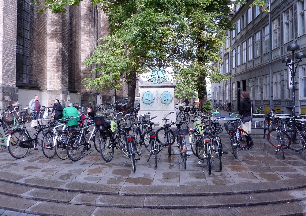
It was a rainy morning. Our first stop was the Holstentor brick gate. We would see it again, in the afternoon, in sunnier circumstances.
I couldn't resist a picture of this dragon, suspended from a building that was, happily, along our route.
We reached the market square. A shelter-house on one side allowed me to take this picture of the east side of St. Mary's church.
The town hall, or Rathaus, is on the right.
We spent some time inside St. Mary's, and I was able to practice my no-flash photography. The first effort, models of the evolution of St. Mary's church, came out fuzzy.
The church bells crashed to the floor, and much of the church burned, during the bombing in March 1942. The bells remain where they fell as a monument to war.
Here's an overview of the interior.
All the stained glass is, of course, postwar. This panel has a rendering of burning Lübeck on the bottom row.
The astronomical clock, destroyed in 1942, has been rebuilt.
The bottom dial enumerates many things, from the phases of the moon to a list of names, one per day.
Joan and I dashed over to a Gutenberg-style press demonstration in one corner of the church. Our group was leaving, so we barely said hello and then had to leave.
We also visited the Hospital of the Holy Spirit. Originally used to tend the sick, it became an almshouse and then a retirement house for the poor. All my photos come from the entrance, or "lobby" if you will.
One wall has a fresco which depicts not only angels and religious symbols, but representations of the donors who funded the building of the Hospital.
The eight-part three-dimensional scene display caught my eye.
This whimsical arm was fun to see.
Next we paused to examine one of the Lübeck alleys. In the middle centuries of the last millenium day laborers and porters lived in huts clustered in the residential courtyards and alleyways of the well-to-do, who charged them rents. The original huts no longer stand, not having been made of stone until the mid-19th Century.
One of our party accidentally brushed against a rose near the end of this alley, earning a scolding from the resident, who then slammed his door.

Our tour also included some sites for which we only had the time to walk by. One such was Willy Brandt's house, now a museum dedicated to his life and influences. (He was the chancellor of West Germany from 1969-1974, and received the 1971 Nobel Peace Prize.)

We returned to the Explorer for lunch, and as we ate the skies lightened considerably. Joan and I picked for our afternoon activity the "long walk," which would loop around the outside of the old town. We disembarked directly from the ship.
After walking a few blocks along city streets, our group began to tread a footpath following the outer canal that rings the old town. Soon we came to the Emperor's Gate.
The plaque was photographable, but just barely.
After a while we ran out of canal footpath and started down a surface street towards the old city. The sun was out, hurrah!
We crossed a canal back into the old city. The first spire is that of St. Peter's Church, and the two further on are those of Saint Mary's Church.
Here's a closer look, using my zoom.
As we swing around, there are the spires of the Holstentor Gate peeking above the trees. But what is all that clutter on the side of the bridge?
It's a love-lock bridge. Couples fasten a colorful padlock to the side of the bridge and pitch the key into the river; their love is supposed to last as long as the lock remains. Or perhaps the lock is merely a symbol: you make take your pick of the interpretations.
It was a Saturday, and this family was out for a paddle in their canoe. You can see how high the water is on the bank of the canal.
In the improved conditions an alpenhorn concert (with accordion accompaniment) was being given on the other side of the Holstentor Gate.

Joan and I returned to the Explorer, which cast off from the dock at Lübeck about an hour later. Some of the citizens waved goodbye as we passed.
Lübeck showed her face as a city of spires as we pulled further away.
We followed a smaller vessel through this raised bridge.
The Saturday tour and party ships were returning to the old city as the sun dipped lower and lower.
Including this replica harkening back to the days of the Hanseatic League.
The two pigs accompanying us on this trip, Mocha Puff and Cream Puff, watched the banks of the river Trave slide by from our cabin window.
The sun continued to set as we slowly cruised down the Trave. As we looked back, we saw the pilot boat following us, waiting until the local pilot had completed his duties and was ready to return to Lübeck.
The Explorer slid past the Passat, a four-masted bark built in 1911 and anchored here permanently since 1960. We had passed her going in, in the dark, barely visible in the center of the first photo.
And now, you will be glad to know, you've reached the final picture of this post. It summarizes the day: a glowing moon riding above a rain squall. If you click and squint, there are a couple of wind turbines near the edge of the squall.
Sometime in the night we will enter the Kiel Canal.

Saturday, October 20, 2012

Avian Adventures: Leucistic/Piebald Robin

The other day Joan spotted an unusual bird in the woods behind our house; at first glance she thought it was a kestrel. With binoculars it became clear that it was a robin with an unusual color pattern. In fact, it was a leucistic robin. Some would call it a piebald robin because it had white patches rather than being fully white. In any case, it was striking, and we went out on our deck to get a better look. I got this photo at maximum zoom. It wouldn't qualify as a life bird though ... if I kept a list ... which I don't. Don't forget to click on the photo for an enlarged version.


Joan's a good spotter!

Friday, October 19, 2012

European Odyssey: Copenhagen

Welcome to the 200th entry in this blog!

In late September 2012 Joan and I flew to Copenhagen to join the Lindblad Expeditions "European Odyssey" trip. Looking at the map, you'll see that Copenhagen is practically in Sweden.

We arrived, very tired, in the early afternoon; we couldn't sleep during the trans-Atlantic flight and had a five-hour layover in Frankfurt. We had arrived a day early to snare a better airfare while not missing the next day's activities, including getting on the ship. To boost the reset of our internal clocks -- Copenhagen is six hours ahead of Columbus -- we took a long walk in the remainder of the afternoon. 

Often I'm too bleary to take pictures on the first day after an overnight flight. This time, at least I took a few. The first one hints at the bicycle-friendly nature of downtown Copenhagen, which has dedicated bike lanes of which the crossing pedestrian must be wary.
Here is the spire of Helligand's Kirke (Church), which is no longer used as a church.
I must confess that I am forced to consult our Copenhagen literature and the esteemed Mr. Google to identify the structures in these photos. My jet-lagged memory is not good. Some photos do not exist; for example, we visited the Marble Church but no interior photography is allowed there.

We meandered down the Strøget, a car-free zone that is the longest pedestrian shopping mall in Europe. Along the way we passed the stork fountain.
A statue of the Bishop Absalon, who built the fortification that was the seed for the city of Copenhagen. No pacifist he.
A lovely piece of architecture is the four entwined dragons forming the spire of the old stock exchange.
Peeking across the canal and over a building is the corkscrew external staircase of the Church of Our Savior, or Vor Frelsers Kirke.
We returned to our hotel for dinner and a deep sleep. The next day we would join our group and the ship.

Although we were staying in the same hotel as guests who booked early arrival through Lindblad, and had consulted with Lindblad several times, our room was not on the list forwarded to the "people on the ground" in Copenhagen. Had we not double-checked with the Lindblad hospitality desk at the hotel, our luggage would have been left behind and not made it onto the ship. However, the operations people for Lindblad are much more reliable than the home office, and David Cothran made sure our bags made it aboard. Thanks David!

While the National Geographic Explorer disgorged its prior guests and was being made ready for the new guests, we had a morning and lunch at the Danish National Museum (NationalMuseet) followed by a city tour. Joan and I can't speak highly enough of this museum, especially the exhibits covering the era from prehistory to medieval times. We decided it would take several days to do it justice, because after a couple of hours our brains wouldn't be able to absorb any more.

One of the less conventional aspects of the National Museum was the blue-dot exhibits. These were narrations or objects based in folklore, legend, and tall tales. It finally dawned on me what the blue dots meant when I came to the mermaid exhibit, complete with preserved mermaid remains.

One of our stops on the city tour was the Church of Our Lady, which did allow non-flash interior photography. On this trip I would be doing a great deal of non-flash interior photography.
In addition to drive-by descriptions of significant statues and buildings, we were given a brief tour of the Opera House. The funding was a donation from the founder of the Maersk group, the largest container and supply ship operator in the world since 1996. Our guides emphasized that whatever the funder desired or desired not, his wishes were followed.

The mezzanine level of the lobby is dominated by glass sculptures.
The polished wood on the left is the exterior of the concert hall itself. It is a giant apple. Before our guides announced that there was no photography, I took a couple of dim pictures of the interior.


From outside the Opera House, the exterior of the Marble Church was visible.
The bus drove on. No tour is complete in Copenhagen without a stop at the statue of the Little Mermaid.
The bus drove on, and our ship came into view.
We boarded and after an initial fright our luggage finally showed up, towed by our hero David Cothran.

The first thing I photographed on board was the lounge where presentations and gatherings take place, and one of the two bars is located.
From the docked ship the headquarters building of Maersk was prominent.
The ship was underway in less than an hour, and we were on our overnight journey to Lübeck.

Sunday, October 14, 2012

CR2012: Baldy Pass and then Home

Our final day of hiking was a morning jaunt to Baldy Pass; in the afternoon we planned to purchase chocolate in Canmore and then drive to the airport in Calgary. By the GemTrek map, it's 3.7 km or 2.3 miles one way to the pass.
There's an elevation gain of about 1900 feet, with an opportunity to stretch both the distance and height a small amount to reach a better viewpoint.

There were overcast skies when we began, with a chance of showers. The first part of the trail, before the junction, passes gently through a wooded area.
After reaching the junction and creekside, the trail turns up the valley, with the detritus of spring floods piled on the floor. At first the trail follows the left bank.
The sky in the above photo is not blue. Joan and I ascended rapidly. We had been hiking for two weeks, and were in much better condition than when we arrived, and we had a schedule, and it might start to rain. The trail crossed the dry rubble a couple of times and then began to climb more steeply. I didn't stop to take photos on the way up, so the remaining pictures in this post were taken at the top or on the way back down.

The pass is in a notch between two heights, of course, otherwise it isn't a pass. There is no view from Baldy Pass itself; hikers must climb a few tenths of a kilometer further to get any kind of view.
To the east is towards the foothills, not the high mountains. In this photo the pass itself is below us, on the left between us and the next peak.
Shortly after we stopped to survey the view a rain began to fall. It was time to pull out the rain jackets and begin the climb down. The short distance to Baldy Pass itself had steep sections; in this photo the trail appears to drop down the side of the mountain.
Fortunately the rain turned out to be just a passing shower, and we were able to stow the rain jackets as we descended. The sun began to shine through, hesitantly at first but more and more strongly. For a while both brilliantly lit and deeply shadowed peaks were visible.
The clouds continued to dissipate. At one point, where the two sides of the valley were still close together, a small group of mountain sheep foraged on the other side. They were startled to see us, and the only photo I could get was of their behinds as they fled.
As the trail left the highest reaches of the valley and emerged into sunshine it looked like this:
Eventually the Nakiska ski trails on Mount Allan came into view as the valley widened.
We arrived back at the parking area, very well satisfied. We had regained our form, something doubted after our discouraging trip to Hummingbird Plume two days before. By our standards we had charged up to Baldy Pass and we felt good about it. We could still contemplate, for future years when we had trained before arriving, new milestone hikes such as Guinn's Pass and Centennial Ridge.

Lunch followed at a Barrier Lake picnic area, and I was able to donate my unused canister of bear spray to the Barrier Lake Visitor Information Centre. (Don't try to fly on an airline with one, even in checked baggage.) The final, and most important, stop of the day was at Le Chocolatier in Canmore. In the midst of ordering I took pictures of two chocolate sculptures on display there.


We recommend a stop at Le Chocolatier if you are passing through or even near to Canmore.

A closing note for this trip occurred at the Minneapolis airport, where we were connecting. Earlier in the year we had seen a 'pink airplane.' It was high above us, but much of it definitely looked pink, not a Southwest jet seen in an odd light. As time went by we couldn't find any corroboration or mention of such a plane, and doubted ourselves ... until Minneapolis. Parked there was a Delta jet, publicizing the fight against breast cancer. It was unmistakable even if obscured by the gate arrangement.
And thus closes the story of our 2012 hiking trip to the Canadian Rockies.