

 |
| Looking back to Tilcara, not at the pond. |
Leaving the pond was a challenge. A backhoe had parked in the road between us and our car, and began scooping up rich, black, wet dirt and vegetation, dumping it into a truck not visible in this photo.
 |
| How do we get around it? |
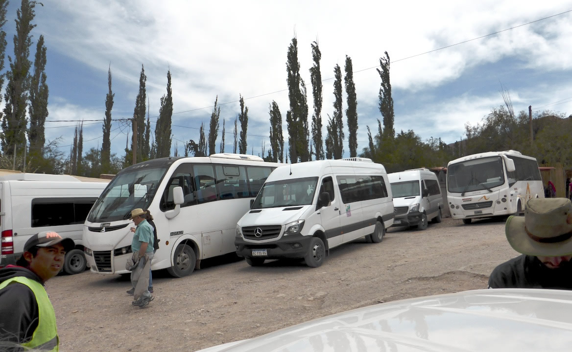 |
| It's a popular spot. |


 |

In this photo Carlos and Joan are examining one of the courtyards.


The summit of the hill is capped by a 1935 monument.

The interior of one of the restored structures. Note that the beams are made of, yes, cactus. Click on the image to enlarge, and the holes where the spines grew will appear.

This brown-backed mockingbird put in a gracious (photographable) appearance. It's almost endemic to Bolivia, but does appear in NW Argentina, favoring the dry valleys between 2500 and 3500 meters altitude: where we were.
 |

The truncated pyramid is a tribute to two archaeologists, not to the native peoples.
 It does attract attention.
 Then it was time to drive into Tilcara itself. We visited a couple of museums around the square, including the Ernesto Soto Avendaño. After some dithering the three of us decided to have lunch at the Nazareno, which was very good. A neighborhood dog in persisted in checking out the various tables, hoping for a handout; if it stayed too long, the owner would shoo the dog out. Then it would sneak back.
After lunch we came across this large mural, an an artwork and a map of town.
 Next to the mural we drank a sample of api from a street vendor. This is a drink typical of the region based on blue cornmeal, sugar, and spices (often cinnamon and cloves). It was pleasant, like mulled wine sans alcohol.
On our way back to the hotel we detoured around Purmamarca to take in the "Hill of Seven Colors," or Cerro de los Siete Colores. Carlos suggested driving instead of walking, because we would not have had time to see much on foot, it being already 4pm.
This photo is of Carlos' car, which underwent a lot of wear-and-tear, especially in the second half of our journey, but never failed us.
 We found both jagged and pillow-shaped formations.
Looking back the contrasts became more stunning.
 The road ahead, with a walking path bearing off to the right.
 Zooming in on the trail, there are tiny figures walking the loop (click on the image to enlarge).
 A side canyon created a close-up presentation of the color contrasts.
 After completing the loop we returned to our hotel and another excellent dinner. A good night's rest was called for: the next day would be a long drive to San Pedro de Atacama, in Chile, including several mountain passes and a maximum altitude of about 4800 meters / 15,700 feet.


After lunch we came across this large mural, an an artwork and a map of town.

On our way back to the hotel we detoured around Purmamarca to take in the "Hill of Seven Colors," or Cerro de los Siete Colores. Carlos suggested driving instead of walking, because we would not have had time to see much on foot, it being already 4pm.
This photo is of Carlos' car, which underwent a lot of wear-and-tear, especially in the second half of our journey, but never failed us.

 |
| Pillow shapes in dead center. |


