The deadline to vacate our room at Purcell Mountain Lodge, 6:30, gave me a chance to photograph Copperstain Mountain and Grizzly Col in early morning light.
After a continental breakfast Joan and I boarded the first flight, which had arrived earlier carrying technicians to work on the hydro generator.
This time I got the jump seat, next to the pilot!
Here are a few still images. First, the pilot's instruments, including a GPS-like screen on top.
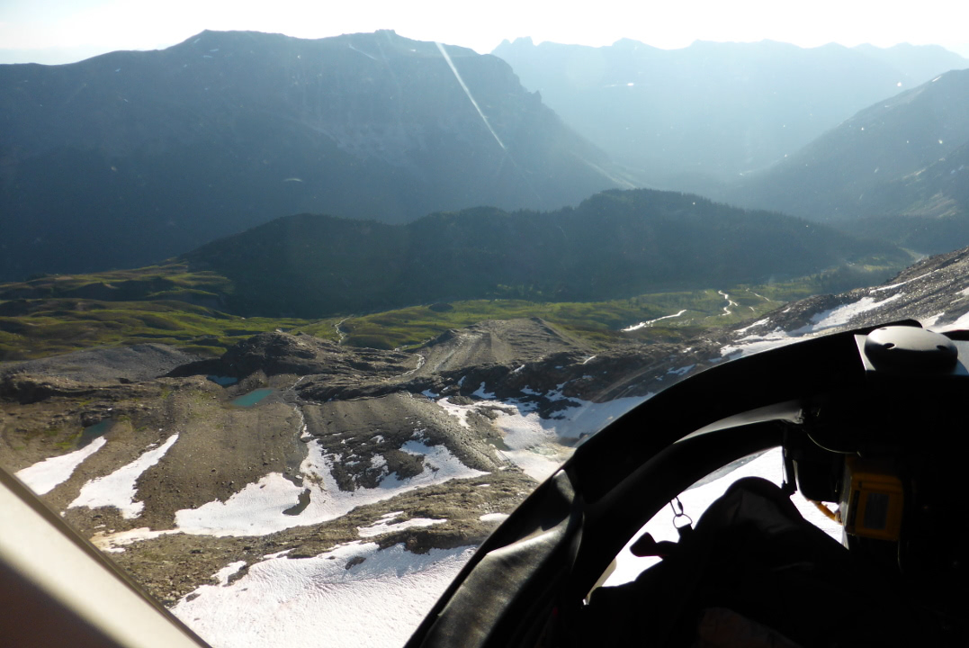
Crossing a ridge.
Snowfields below.
Approaching Golden.
 |
| Now where's the airport? |
After landing at the airport we threw the single duffel Joan and I had taken to Purcell into the car, and with the whole day spread before us, Joan and I visited the Kicking Horse Mountain Resort, just outside Golden.
Our top priority was to see Boo, a now-grown rescued grizzly cub, but we arrived so early that the ticket office for the chairlift wasn't open. We strolled through part of the resort, an extensive spread of restaurants, shops, mountain bike trails, condominiums, etc. Along one road we encountered a mother grouse, likely a dusky grouse, with at least three youngsters. Mama was strolling without concern and rejected our efforts to prevent her from walking onto the road.
Here is one of the babies.
The time arrived (9:45) to take the lift up to the grizzly refuge.
Joan and I hadn't known what to expect. Was this a serious effort to assist grizzlies, or a sideshow?
We saw Boo shortly after walking up to the fence.
Boo's story began with tragedy. He and his brother, Cary, were cubs following their mother in the Caribou Mountains (and hence their names). They were foraging near a road when a man drove up, stopped, shot the mother, and sped away. There may also have been a female sibling who ran off. There were witnesses, and the assassin was prosecuted for not having the proper permit; his punishment was limited to a CDN $9,000 fine. Cary and Boo were brought to Kicking Horse so that more could be learned about raising orphaned cubs and possibly releasing them back into the wild. Rescue and re-release of cubs was not thought possible, but now about 18 cubs have graduated from facilities in Canada.
Boo's brother Cary died during hibernation from a twisted small intestine. On emerging in the spring Boo searched for his sib for a long time.
Boo has escaped twice, during mating season in 2006 and 2011. The first time, he kept digging until he could pass under the fence. Steel plates were then inserted to a depth of six feet, but in 2011 Boo found two plates that had not been welded together properly and ripped them out. Boo was neutered after his first fling, but DNA tests show he's a father. Each episode ended with Boo showing up 31-33 days later waiting to be let back into his 20-acre residence!
He enjoys the compound's pond.
 |
| My that feels good! |
Time for brunch. Gotta go.
Back into 2010 a moose being chased by a cougar or wolf had smashed into the fence, flattening it. The fence rebounded, trapping the moose in Boo's territory. The staff later discovered a buried moose carcass with Boo standing guard. This photo is of a different moose.
 |
| Yum! |
Joan and I took the chairlift back down to to ride a gondola up to the top of the resort, at 7700 feet.
In this panorama, the Eagle Eye restaurant is in the foreground and the gondola station in the background.
It was time to stretch our legs. The trail started out as a broad road, seen in the two corners of this photo.
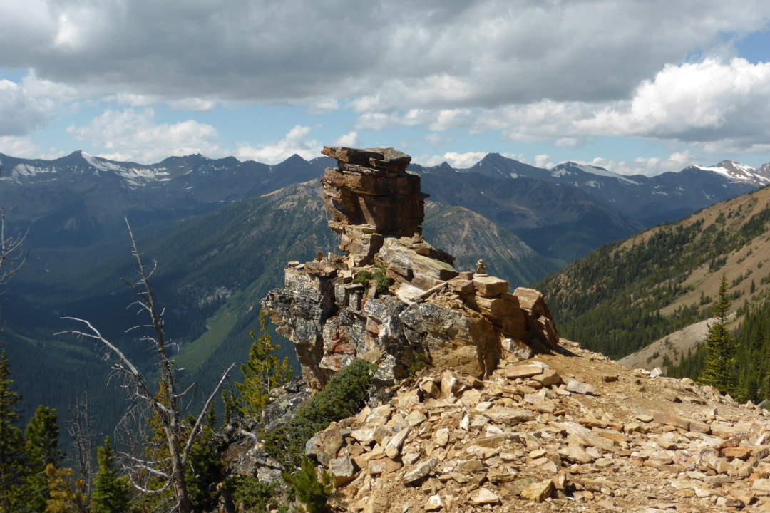
We passed various rock formations,
including "seal rock."
There was a hut with rescue gear for the ski season.
Before the hut we investigated a narrow side trail and began to work up a ridgeline, sometimes with handholds, sometimes without.
I became uncomfortable at one exposed trail section and we didn't go further towards the peak. This was the view looking towards the restaurant.
Joan and I lunched partway back. From the restaurant we briefly explored one of the trails that led downhill. Returning to the resort by gondola we watched mountain bikers blasting down harrowing trails, and a roving Mobile First Aid van.
At the bottom we returned to our car, joined the Trans-Canada Highway, and drove east to Canmore and then south to Mt Engadine Lodge.
The post-dinner sunset was lovely.
Moose regularly visit the mud wallow just below the lodge's deck, but often not until dusk is well underway.
Tonight's moose wouldn't hold still, so this image isn't quite in focus! Nonetheless it was a thrill.
 |
| Like my rack? |
Tomorrow's weather wasn't forecast to be nearly as pleasant as today's. We'll see what happened.


 Moose regularly visit the mud wallow just below the lodge's deck, but often not until dusk is well underway.
 Tonight's moose wouldn't hold still, so this image isn't quite in focus! Nonetheless it was a thrill.


