Wednesday, September 3, 2014

Bhutan 2014: Lhuntsi and Khoma

Lhuntsi, Lhuntse, Lhuentse, you'll see the name of this town in northeastern Bhutan spelled any number of ways. For consistency I'll stick with Lhuntsi. Today, May 12th, we took a daylong expedition from Mongar to visit Lhuntsi dzong and the nearby village of Khoma/Koma.

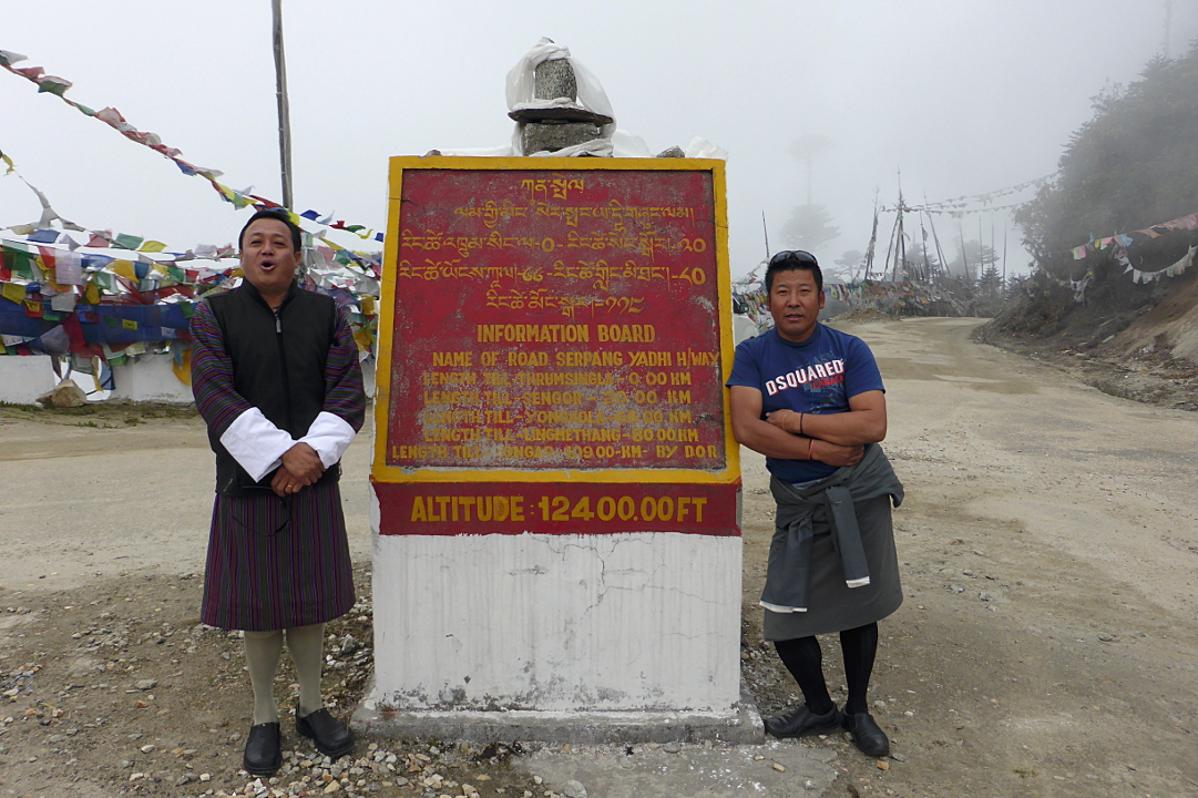
From where the Mongar spur joins the Lhuntsi road it is "only" 65km to Lhuntsi. Nonetheless it will take us about 2¼ hours to get there from here, or almost 3 hours in total from the hotel. The Lhuntsi district is considered one of the most isolated in Bhutan.
For this reason the new government of Bhutan has revived a plan to build a bypass between Shingkhar and Gorgan -- avoiding Thrumshing La (pass) -- which will cut through the pristine Thrumshingla National Park, and whose merits are still under contention. It would better connect Lhuntsi to the Bumthang region and points west, although how much is in dispute.

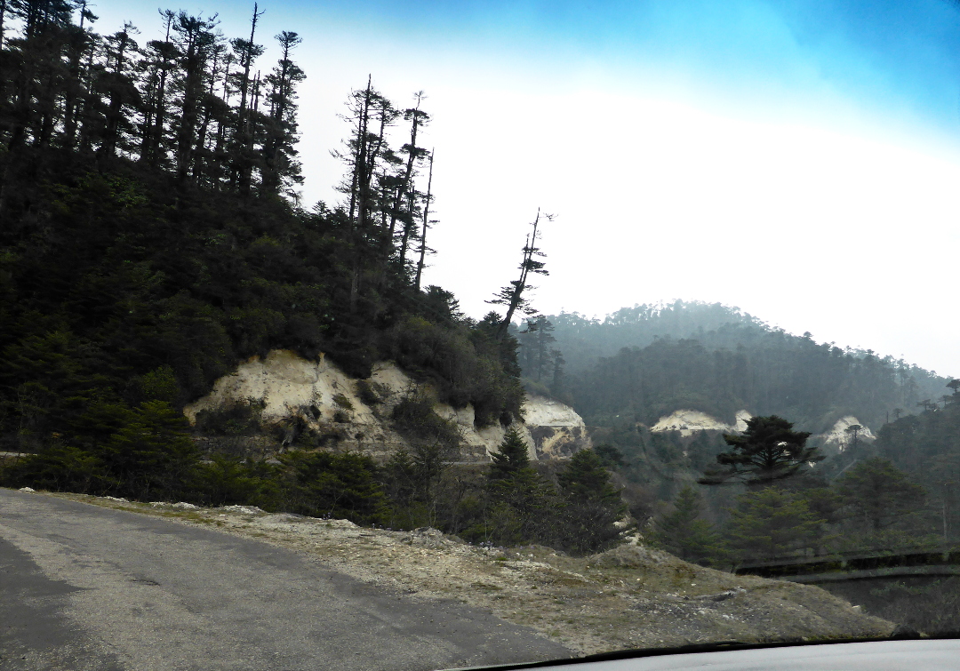
The road from Mongar to Lhuntsi is not part of the national highway/lateral road. The Kuri Chhu (river) cuts a steep valley through the mountains, and the narrow road clings to one bank or the other. In this photo the road is on the far right (click to enlarge).
We stopped across the river from a section of vertical cliffs where bee hives cling to the rock face, covered in swarming bees. This photo is at maximum zoom.
At one point we briefly saw a black wild boar, who dashed off the road. Later on we passed a location where tsa-tsas are being made. Some tsa-tsas are devotional or merit-increasing objects, such as an image of the Buddha. Most frequently in Bhutan the term refers to conical clay objects, of small to middling size, which have ashes of a deceased person mixed in, to be placed in a holy or otherwise auspicious spot. This batch has been set out to dry before any decoration, such as paint or gilding, is applied.
A closer look. We'll see finished, installed tsa-tsas in a later post.
When almost to Lhuntsi we passed this location, where the stream from Khoma village joins the Kuri Chhu. An elaborate stupa/chorten complex has been built at the confluence. Just above it is the dirt road to Khoma.
Again, having set the scene, I'll provide a closer look.
Ahead we could see the Lhuntsi dzong looking over the countryside.
The dzong is approached through the town on a series of switchbacked narrow streets, affording a view of both front and back.
From the front you can see that the Lhuntsi dzong is an extensive complex with satellite buildings.
There are several terraces to be walked on the way to the central courtyard.
Even the first small gateway has Buddhist art on the ceiling,
and the walls.
A view of the Kuri Chhu from one of the terraces.
The last entryway/staircase has more wall art, including the guardian kings of the four directions. The white king is East, blue is South, red is West and yellow is North.
After the final staircase we emerged into the main courtyard.
A closer look at some of the carved and painted woodwork.
The highlight of our visit was seeing and hearing the student monks in their practice/study hall.
A closer, non-panoramic photo provides better brightness.
Part of the back wall. Notice that the hanging white objects aren't tassels, they are compact fluorescent light bulbs. This picture was probably taken with the camera in Creative Mode, sub-mode Expressive, which brightens and saturates the colors. (Other sub-modes would be sepia tone, black and white, etc.)
On the way out I took a pair of images to illustrate the difference between Creative->Expressive Mode and normal on my camera. I think you can tell which is which!

Next we headed for the small village of Khoma, known for its distinctive style of weaving silk, kushuthara. Until an auto bridge was built in 2012 visitors had to walk across a footbridge and then hike to the village. Here's a picture of the old footbridge (click to enlarge).
And the new auto bridge.
Very new.
The road to Khoma is a couple of miles of dirt track, but Kaka  our expert driver got us safely there. The weavers sit outside on the porches.
Joan, Tshering, and I were soon surrounded by weavers with cloth to sell. I was transformed into a display rack, scarves and lengths of cloth dangling from my arms as Joan and Tshering checked the offerings. Joan decided on one section of cloth, which is now mounted in a frame in our home,

and two scarves.
Looking closer:


After the assembly dispersed and my arms were unencumbered I took this photo of the porch where all the action had taken place. Shopping at Khoma cuts out the middleman; these fabrics would be much more expensive in a handicraft shop in Thimphu or Paro, and the weavers wouldn't receive as much for their work.
We rejoined the main road, and half an hour later found a lunch stop, on a side road close to the highway.
At a bend in the side road there was an open area. Part of it was in use as a drop-off for empty beer bottles, prior to taking them for recycling, but there was plenty of room for our lunch. This photo is taken from that open area.
Soon after leaving our lunch spot we encountered a rhesus macaque.
Thirty minutes after stopping for the monkey we passed a road repair crew.
Roadwork in Bhutan is almost always subcontracted out to Indian (Bengali) companies, who bring in Bengali workers. For paving repairs the workers shovel gravel and sand into a wood-fired tank of melted pitch to create the asphalt mix. The old pavement might be sprinkled by hand with pure pitch in preparation for laying down the asphalt, which is shoveled into a hand cart and wheeled by one or more men up to the current point of repair. The only mechanized part of the job is the steamroller that flattens each section. In remote locations, of which there are many, large rocks are smashed into gravel by hand, often by women and families.

It's hard, hot work, and depending on the location and the duration of the job, the workers are housed in temporary buildings or makeshift tents. Nonetheless, given the Indian economy, there is no shortage of workers willing to come to Bhutan. Even with their modest wage they can send money home, and as long as they are legally employed in Bhutan the guest workers are eligible for free medical care, as if they were, in that respect, a temporary Bhutanese citizen.

After another half hour on the road, we encountered a long, aging suspension footbridge. Tshering joked with us about taking the walk across, but he never asked Kaka to pull over.
When we arrived back in Mongar this young woman was instructing her son in the sport of kuru, or darts. In this case the boy was throwing rocks, not darts, at the target board.
Here is the view from our window that  night.
Somebody is always resting, or waiting for their friends, at the prayer wheel.
Tomorrow we would retrace our tracks over Thrumshingla and return to Jakar for another two nights in the Bumthang region.

Wednesday, August 27, 2014

Bhutan 2014: Over Thrumshingla to Mongar

Today, May 11th, was a long road trip from Jakar to Mongar including the pass of Thrumshing La, the second highest pass in Bhutan at 12,400' (almost 3800m). This snapshot from Google Maps shows Jakar at upper left and Mongar at lower right (click to enlarge).
We had been so pleased with yesterday's lunch at Noryang restaurant that Tshering, our guide, chose them to supply a hot travel lunch. We would picnic on the road to Mongar.

As we left the Bumthang area the villages and farms thinned out. The national highway took us along the edge of the Ura valley, one of the four valleys of Bumthang. Shortly after 10:00 there was a brief stop,
for cattle being taken to higher pastures for the summer. Note how the truck coming at us almost fills the road; this is common and one reason why I'm never going to drive myself in Bhutan. Joan and I felt we were safe with Kaka at the wheel.

Inside Thrumshingla National Park the soil takes on a whiter hue and sandy texture, as revealed by these road cuts.
We arrived at Thrumshingla just before 11:00.
One of our first tasks was to add our string of prayer flags, blessed by the monk at the Zhiwaling in Paro six days before. Tshering and Kaka did most of the work, but Joan and I helped. The straight, not-yet-drooping string of flags on top is ours.
Tshering took a photo of Joan and me standing in front of the flags. The black pouch on my belt is my camera holder.
Also one with Kaka included, looking impressive in his sunglasses.
We reciprocated with a photo of Tshering (on left) and Kaka at the pass marker.
Then we shoved off and started downhill.
Soon we could see the town of Sengor below and ahead. It's about 700 meters (2300') below the pass.
Bird sightings picked up almost immediately. Here is a cooperative white-capped water redstart.
Joan and I had hoped to see rhododendron in bloom, and we passed through the right climate zone on our way down to Sengor. This species grows tall.
We passed through Sengor and Tshering and Kaka found our lunch spot, up a short but steep driveway to a communications tower. They pulled folding chairs and a table out of the van and assembled a dining room.
It's amazing there was room in the van for the picnic equipment along with everyone's luggage.
A chorten is in the middle of the highway where the driveway splits off.
Tshering suggested that Joan and I take a stroll down the road while he and Kaka cleaned up. Right away we spotted a jack-in-the-pulpit with a striped/spotted stalk.
The stalk identifies it as the species Arisaema Nepenthoides; the yellowed color of the hood indicates that the bloom is rapidly aging.
Some avian teasers played hide-and-seek with us, but nothing that I could photograph. Soon the van came down the road and picked us up.

This was one of the best waterfalls along this section of the highway. During the monsoon (July-September) its flow must be intimidating.
By 2:30 Kaka needed a break (I would have been exhausted). He relaxed with a snack at this roadside restaurant, while Joan and I took another short road walk.
Joan and I think this picture is of a red-vented bulbul, although it took a while to reach a conclusion because of the backlighting and viewing from below.
We eventually reached the Kuri Chhu (river), and crossed the Kuri Zampa bridge at an altitude of 561 meters (1840'), having lost over 10,000' of altitude from Thrumshing La. Then it was back to up to the town of Mongar, at 1600 meters (5250'). Such a number is somewhat arbitrary because Mongar sprawls along and up a mountainside.

We stayed for the next two nights at the Wangchuk Hotel (not Hotel Wangchuk, an outfit in Thimphu). This was the view from our room.
The satellite dish and the large prayer wheel, visited at all hours, are a typical Bhutanese juxtaposition.
Joan and I spent a while at the corner of the hotel terrace watching a kuru (lawn darts) match. Several of the hotel staff were taking it in as well.

The Wangchuk is structured around an open-air interior courtyard. The dining room is on the ground level.
GeoEx had warned us that accommodations would become more and more basic the further east we went in Bhutan. Wangchuk Hotel was therefore a pleasant surprise. I can't speak for all the rooms in the hotel; however, ours was basic but clean and comfortable. There was one ten or fifteen minute power outage during our first dinner, for which the staff was prepared with portable battery powered lights, and they served the same tasteless "vegetable soup" starter as the Yu Gharling in Jakar, but overall it exceeded our expectations.

Tomorrow, a visit to Lhuentse and Khoma.