
Reaching the trailhead was a two-step process. During the tourist season, private vehicles are not allowed into the canyon -- there is almost no place for parking in the canyon, which begins narrow and grows narrower. After parking in the extensive lots at the Zion Visitor Center, visitors must board one of the circulating shuttle buses. Only those overnighting at the mid-canyon Zion Lodge are exempt.
In this map, the visitor center is highlighted in red (ellipse), and the point beyond which private vehicles are not permitted is marked with a red square. The background of the park is "satellite view," while the town of Springdale is in "map view."


This sign explained how wood from the mesa tops was lowered into the canyon for construction, starting in 1900, by a system of cables from the cliff edges. Before this, lumber had to travel for two weeks from Arizona to reach Zion.

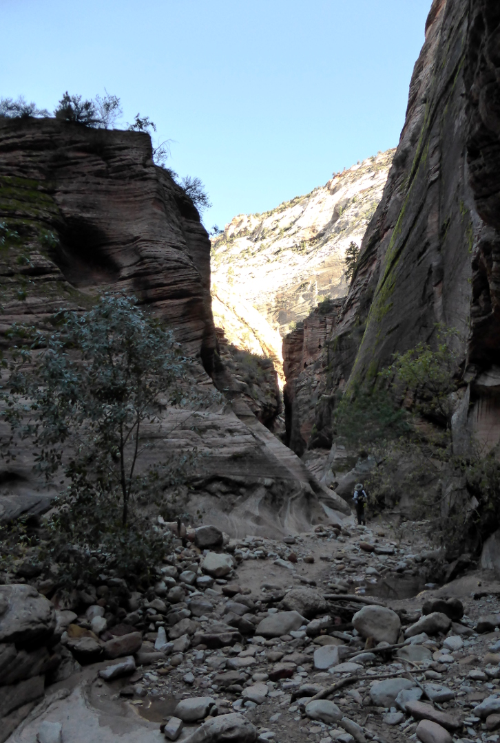
The Observation Point trail started with moderate, paved, gently sweeping switchbacks. Nonetheless, there were warnings about what might lie ahead.

One group, including Joan and me, set off with Heather directly for Observation Point. The rest went with Eric to explore other spots in this location.
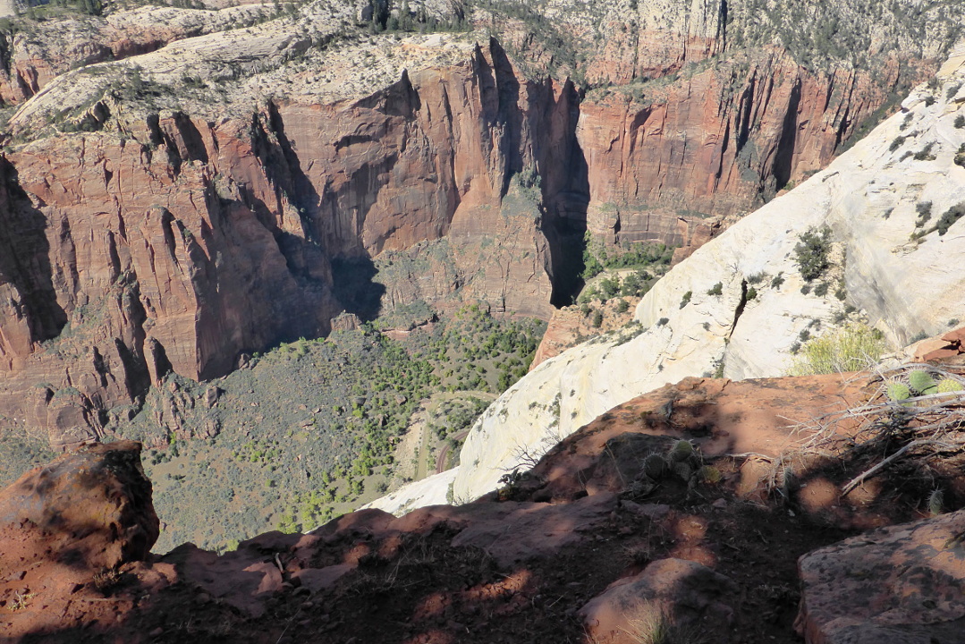
In this image (an afternoon shot) you can see a trail switchback lower down, in the lower left, through brush. The mid-canyon formation deflecting the river into a big bend is called The Organ, and above and to the left looms Angel's Landing.


Then we were above the level of Angel's Landing, and getting closer to the top of the canyon.


The final stretch of the Observation Point trail made a broad arc along the top to reach the viewpoint. This picture looks back to the trail climbing the last, steep switchbacks to the rim.


Our chosen lunch spot was off the side of the trail, a few dozen yards back from the crowded viewpoint. We could look down into the main canyon, but took care not to let our meals or poles slide down into it.

Arriving back at the Desert Pearl, we discovered a deer browsing the parking lot grass. He wasn't concerned about us.

Tomorrow would be the opposite of climbing the heights; our group would plunge up Zion Canyon through the waters of the Zion Narrows (the North Fork of the Virgin River). On foot.
No comments:
Post a Comment
Comments may not appear immediately as they are moderated by the author to eliminate spam.